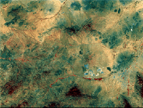
The intention of this project is to (a) Extend the team’s spatial and spectral feature recognition algorithims, developed for vegetation, and use machine-learning algorithims and eData techniques to differentiate crops, classify native grasses and trees (of particular species), and identify the surface mineralogy. A major focus will be analysis of truly hyper-spectral data (e.g., Projects 2.2 & 3.1), with resolution of 1 nm or less, rather than the broader bandwidth data currently used (e.g. 5nm for NASA’s AVIRIS). (b) Use Project 2.1’s imaging data in several optical bands, selected for complementarity with existing commercial remote sensing products, to assess CubeSat potential for both validating and better estimating broadscale land cover estimates from moderate resolution sensors. The results will improve and extend the partner’s commercial services for vegetation. (c) Identify and perform other projects using similar data and techniques for land-based applications considered important by the team.
Project Chief / Partner Investigators:
Eleanor Bruce (Sydney – CI); K C Wong (Sydney – CI); Roy Hughes (Sydney – CI); Richard Murphy (Sydney – CI); Iver Cairns (Sydney – CI); Bradley Evans (DSTG – PI); Daniel Bongiorno (DSTG – PI); Chip Bachmann (R.I.T. – PI); Terry Cocks (HyVista – PI); Paul Barber (ArborCarbon – PI)


